Planning for Regional Development
As globalization transforms economies around the world and more people move into urbanized areas, economic and population growth is increasingly converging. Between now and 2050, more than half of the population growth and as much as two-thirds of economic growth in the United States is projected to occur in interconnected areas known as megaregions. These megaregions—large networks of metropolitan centers and their surrounding areas tied together by economic, environmental, and infrastructure relationships—will serve as the foci of American economic activity.
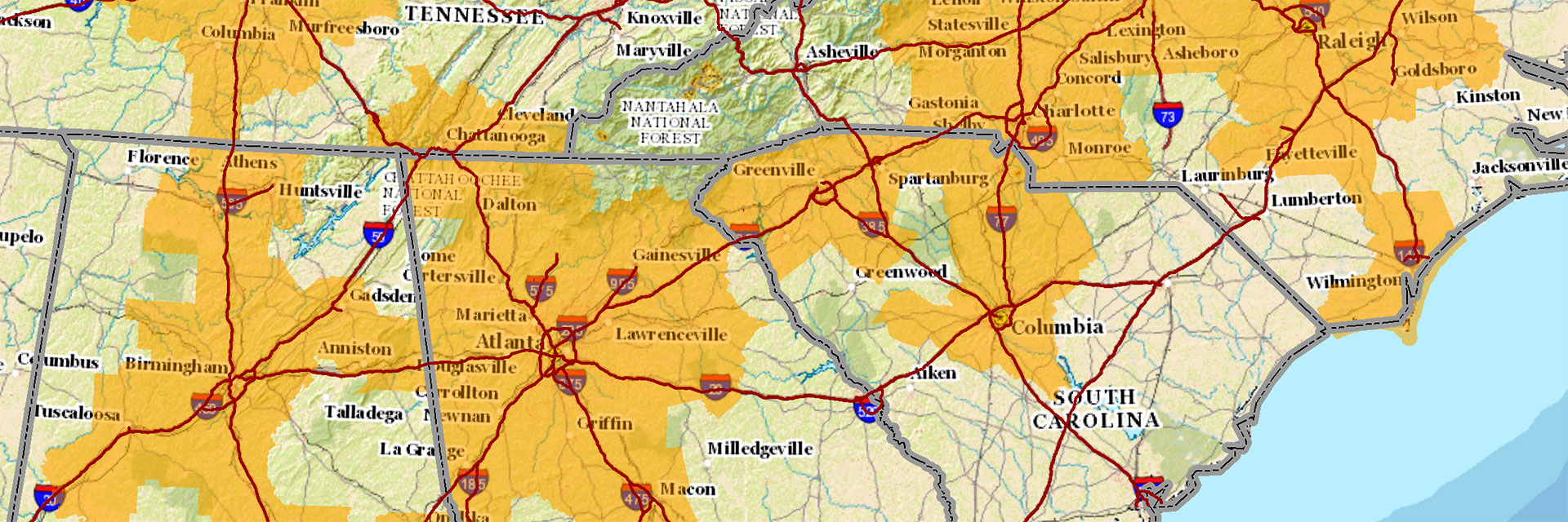
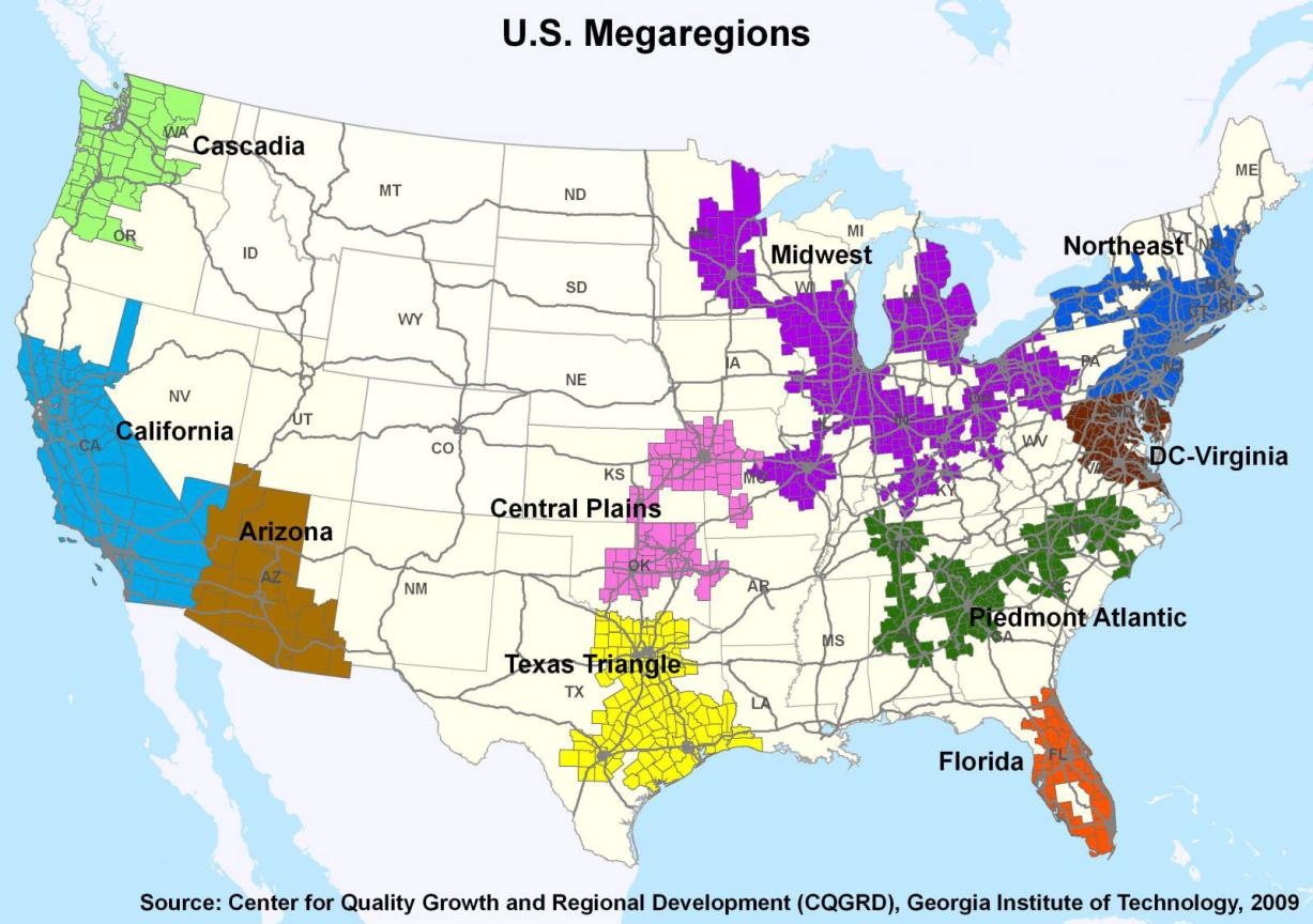
Applying the contiguity and proximity conditions and boundary conditions for functional regions, 10 megaregions are identified: Cascadia, California, Arizona, Central Plains, Texas Triangle, Florida, Piedmont Atlantic, Midwest, Northeast, and DC-Virginia. The 10 megaregions are the results of incorporating both physical and functional relationships between regions into the identification process and considering the areas of influences of core areas.
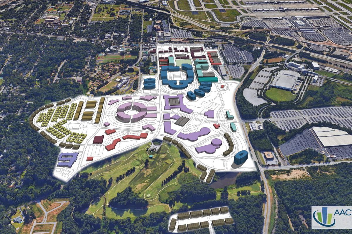
In addition to advocating for regional governance structures that enhance megaregional links, the Center seeks to improve the land development process and the public policy that guides it by fostering public-private sector ventures that promote sustainable strategies for new development and redevelopment.
The Center brings together various stakeholders -- including governments, developers, the public, and others -- to measure changes in land-use planning that are supportive of quality growth, such as redevelopment of greyfield (empty asphalt) and brownfield (contaminated) sites, and other sustainable land-use practices.


