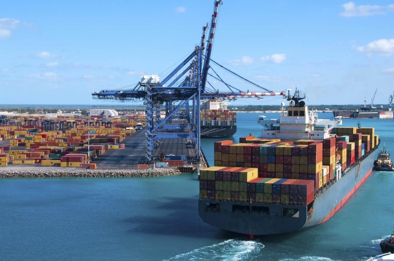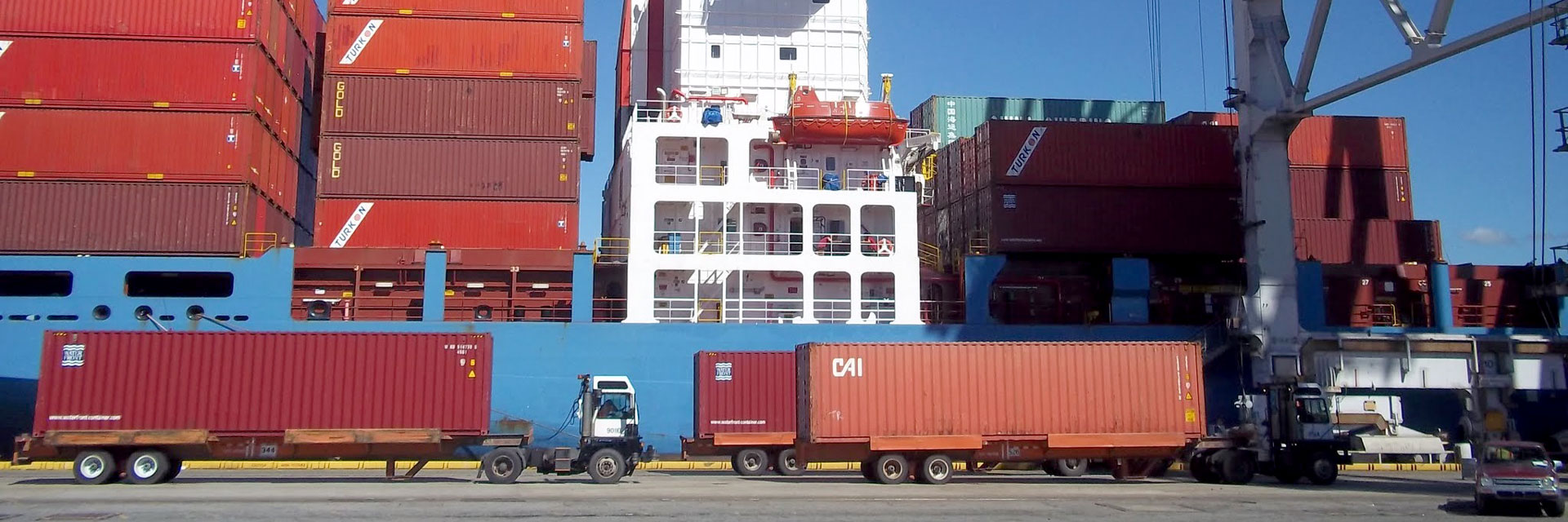
Shipping containers at a port.

Improving the Movement of People and Goods

Improving the Movement of People and Goods

The need for greater mobility, limited funding opportunities, and the uncertainty and opportunities offered by emerging technologies create ongoing challenges to providing sustainable infrastructure and transportation systems. To help governments and practitioners respond to these issues, the Center conducts research on transportation infrastructure investment and design to promote quality growth that addresses the need for greater equity and choice, mobility, accessibility, and economic development. Multimodal and non-motorized transportation are integrated with passenger and freight movement needs in the Center’s approach to research.

 

land

Metropolitan Atlanta: Alternative Land Use Futures Project

The purpose of this graduate planning studio was to inform the ongoing regional discussion of possible land use futures for the Atlanta region. This project is intended to help citizens and decision-makers understand the scope and type of land use changes needed to accommodate likely future growth. This project is designed to reinforce other similar efforts that are looking at regional land use issues, such as the Georgia Regional Transportation Authority’s Northern Subarea Study and the Metropolitan Atlanta Chamber of Commerce’s Regional Land Use Vision. Hopefully, the Atlanta Regional Commission will be able to draw from all of these efforts as it prepares the 2030 Regional Development Plan and Regional Transportation Plan. 

multimodal planning

Multimodal Planning at the Multi-Jurisdictional Scale

February 2020

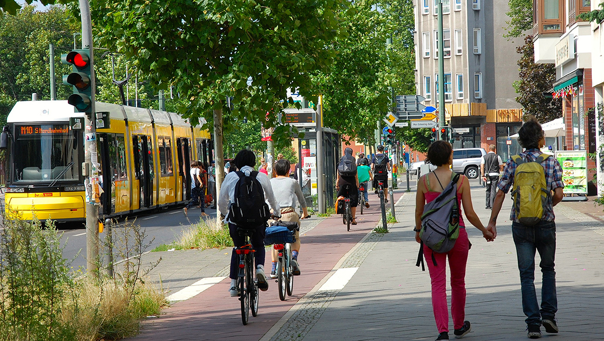
The Multi-Modal Planning at the Multi-Jurisdictional Scale project includes multiple resources for planners seeking to improve collaborative planning across multiple planning topic areas, geographies, and modes. These resources will help planners develop collaborative practices and guide strategic planning efforts for multi-jurisdictional projects. This research supports FHWA’s Megaregions portfolio, which promotes efficiency and regional cooperation by identifying best transportation planning practices for key stakeholders seeking to work across jurisdictional boundaries. Megaregion planning is inherently collaborative and emphasizes connectivity through and between stakeholders on environmental, economic, cultural, and infrastructure topics. This project complements existing megaregion research and planning efforts by reinforcing the significant benefits of multi-jurisdictional planning and identifying lessons learned for future cooperative efforts. 


freight example

Freight Impacts on Small Urban and Rural Areas

Sponsor: U.S. Department of Transportation | April 2014-August 2016

This study estimates the concentration levels of pollutants emitted by freight movement. Specifically, the study focuses on two criteria pollutants monitored under national air quality standards -- nitrogen dioxide (NO2) and particle pollution (PM2.5).

These emissions are often evaluated at the county level, without differentiation between urban and rural areas. While many areas affected by freight traffic are urban areas, little attention has been paid to the small urban and rural areas. Georgia’s rural and small urban areas are home to more than 1 million and 1.5 million residents, respectively. Rural and small urban populations tend to be proportionally older, less racially diverse, and less wealthy than urban areas. Nearly a quarter of residents in small urban areas are below the poverty line, making them vulnerable to health impacts of freight emissions.

freight

Freight-Movement, Port Facilities,& Economic Competitiveness

Sponsor: Georgia Department of Transportation | June 2012-November 2016

The Center for Quality Growth and Regional Development (CQGRD) Critical transportation infrastructure needs can best be addressed at the megaregion scale through inter-jurisdictional cooperation which allows regions, cities and towns to compete globally as cohesive regions connected by efficient and reliable transportation links.

atl highway

Crowdsourced Social Media Monitoring System Development

Sponsor: Georgia Department of Transportation | May 2016 – August 2017

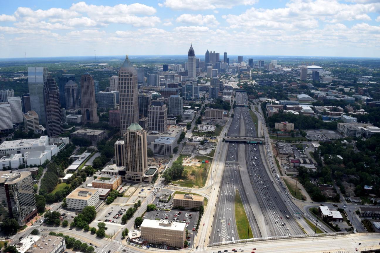
This study explores the implementation of crowdsourced traffic management by Georgia DOT (GDOT) and the challenges specific to them. The reliability of data and filtering high volumes of information were found to be the two primary concerns. The team proposed a system that can potentially tackle those challenges. The system consists of a mobile application and a text mining application that together leverage the existing Twitter technology stack. Based on interviews with traffic management professionals and a visit to GDOT, the report contains recommendations that would improve the workflow at the TMC. Computer vision, data management and social media analytics would be particularly beneficial to decrease operator burden. A system with multiple sources of information integrated into one would be particularly beneficial. We are on the cusp of a revolution with respect to big data and crowdsourcing. This is the ideal time for GDOT to invest in crowdsourcing technologies to reap the benefits in the future.

multimodal planning

Multimodal Planning at the Megaregional Scale

Sponsor: American Planning Association, Federal Highway Administration | 2015-16

Megaregions are networks of metropolitan areas that share economic, environmental, and cultural features, as well as infrastructure and geographic connections. Since its inception in the 1960s, the concept of the megaregion has been gradually transitioning from planning theory into planning practice. This effort used a literature review, a scan of long-range planning documents, and case-study research to examine the state of megaregional planning and resulted in the development of regional long-range and local comprehensive planning frameworks, which address opportunities for local and regional agencies to address megaregional issues in their respective long-range plans.

eye

Atlanta Regional Plan 2040 Health Impact Assessment

Sponsor: Robert Wood Johnson Foundation, Pew Charitable Trusts | 2010-2011

Plan 2040, the long-term regional comprehensive plan being prepared for the Atlanta metropolitan region by the Atlanta Regional Commission (ARC), may affect as many as 8 million residents and countless visitors to the Atlanta region over the next 30 years. Additionally, this plan is the region’s opportunity to prepare for increasing challenges and growing diversities in the 20-county region. These include diversity of urban form and function present in the built environment – ranging from dense urban settlements to successive rings of suburbs to sparsely populated rural and ex-urban areas and demographic diversity by race/ethnicity, age, income, and health status, to name a few. The long term health, sustainability, and prosperity of the region will likely be influenced by Plan 2040.

milton

City of Milton, GA Bike and Pedestrian Plan

Sponsor: Georgia Legislature | January 1, 2007-June 1, 2007

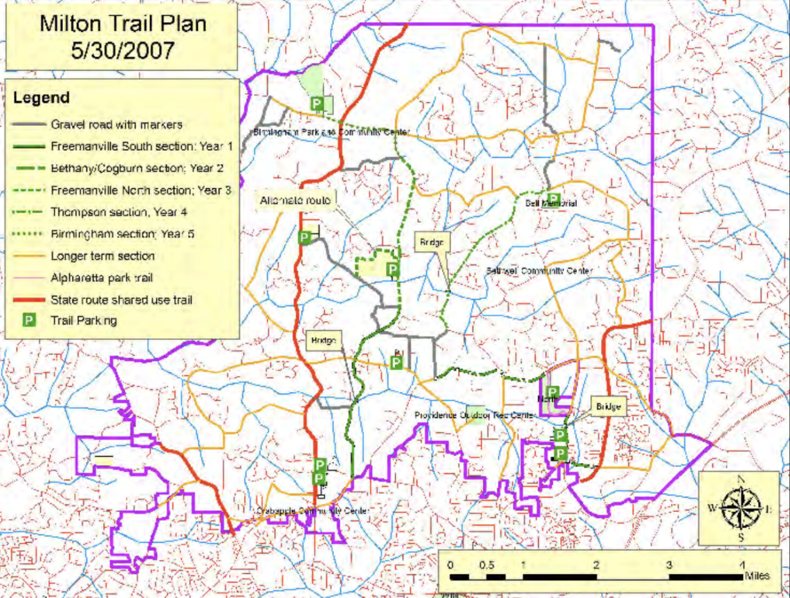
This Bicycle and Pedestrian Plan for the newly established City of Milton, Georgia, proposes a network of multiuse trails to connect Milton’s neighborhoods with its parks, schools, libraries, stores, sports facilities, and other public spaces. This plan was produced with Georgia Tech's City and Regional Planning Program and the Center for GIS.

Questions?

 
If you can't find the information you were looking for, we'll get you to the right place.
Contact Us